Introduction
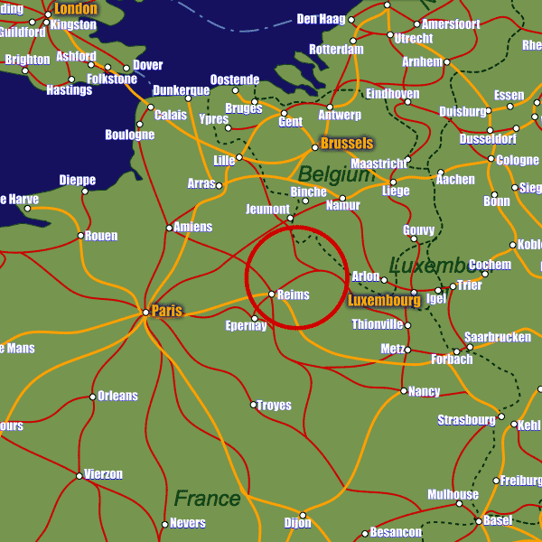
Reims lies in north-eastern France, in the world famous Champagne region. On the A26 and A11 motorways, and just 1hr30m away from Paris on a direct route along the A4, Reims is certainly well connected to the French motorway network.There are two stations serving the city; Gare de Reims lies in the city centre and is a hub of local and regional transport, whilst the comparatively new Gare de Champagne-Ardenne lies 5km outside the city to the south-west and is the high-speed station with services to Paris, Metz and Strasbourg.
For air passengers, Chalons-en-Champagne airport is the closest at just under 60km away, although this has only a limited number of international flights. For a comprehensive service schedule, both Paris Charles de Gaulle and Orly airports are approximately 150km away.
Stations in Reims
| Reims Ville | 0.9 km |
| Reims | 1.4 km |
| Reims Franchet d’Esperey | 2.7 km |