Introduction
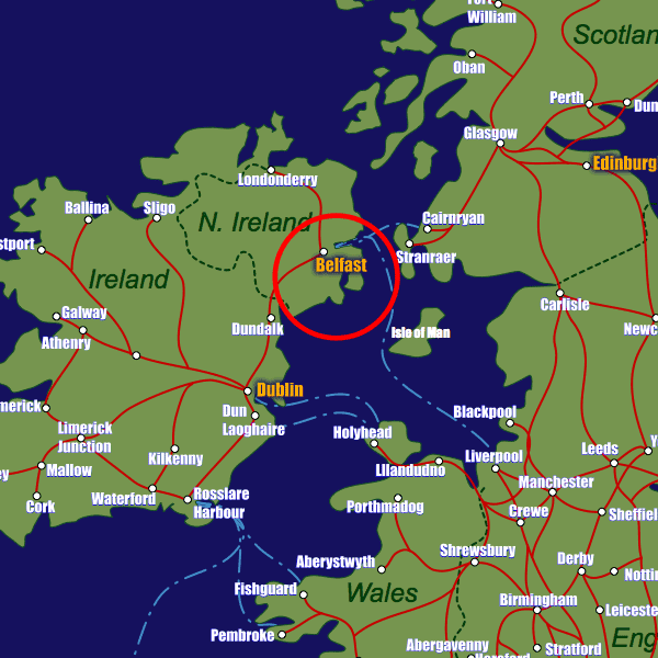
Belfast’s population of approximately 275,000 is concentrated mainly in the city centre and its outskirts. Situated at the mouth of the River Lagan on the borders of Counties Antrim and Down in the province of Ulster, Belfast has always been a centre for industrial development.Getting your bearings is not easy in Belfast, as many of the roads were built not with ease of orientation in mind but more to ensure segregation of the religious factions during the 20th century, resulting in some very confusing rabbit warren-style routes.
Visitors are advised to obtain an accurate map that highlights not only the main routes but also side streets and one-way systems!
Stations in Belfast
| Belfast Central | 0.2 km |