Introduction
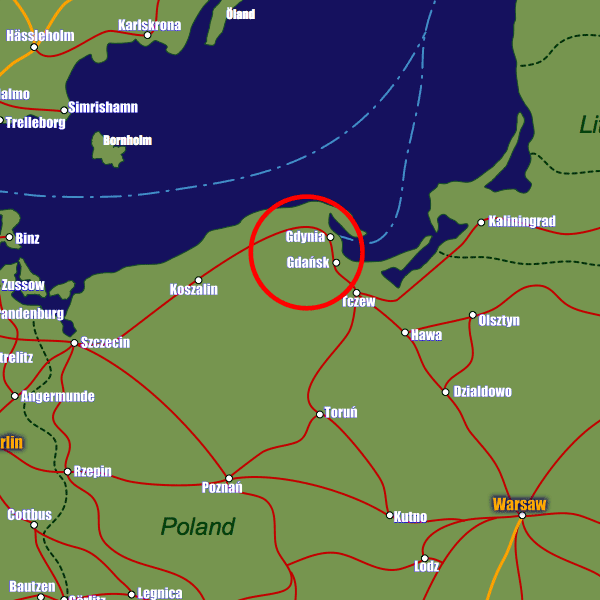
Located on the southern coast of the Baltic Sea as part of the Gdansk Bay, Gdansk itself is a combination of the city of Gdynia, the town of Sopot, together with smaller suburbs that have now been incorporated into this growing city.As Gdansk developed mainly as a seaport, it is easy to see how its origins affected the city as we see it today, with growth occurring outwards from this location. Central to the city is the old Royal Way, which is a large road featuring many of the tourist attractions.
Gdansk has now expanded, with many suburban areas housing the ever increasing population. Most of the main landmarks and attractions, however, are in the older 17th century part of central Gdansk.
Stations in Gdansk
| Gdańsk Główny | 0.3 km |