Introduction
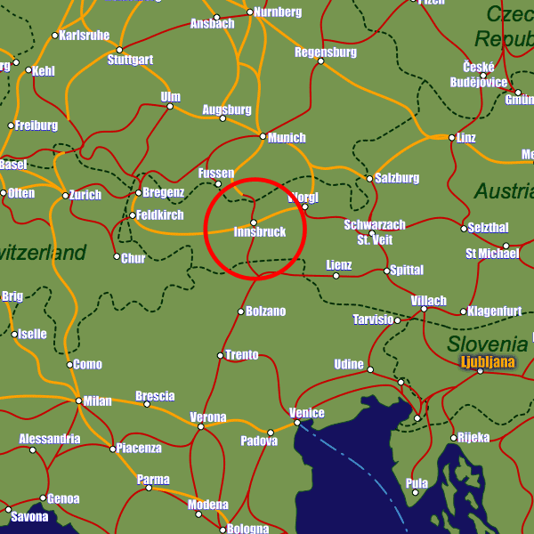
Innsbruck airport is located 3km from the city centre with a regular shuttle bus connecting visitors with the town centre. The Hauptbahnhof (main railway station) is situated at the heart of Innsbruck and a mere 10 minutes from the pedestrian part of town. The Austrian national rail network is very efficient and Innsbruck is well connected to a number of cities. The tourist office can be found at Burggraben 3 or visit www.innsbruck-tourism.atStations in Innsbruck
| Innsbruck Hbf | 0.5 km |
| Innsbruck Westbahnhof | 0.8 km |
| Allerheiligenhöfe | 3.2 km |