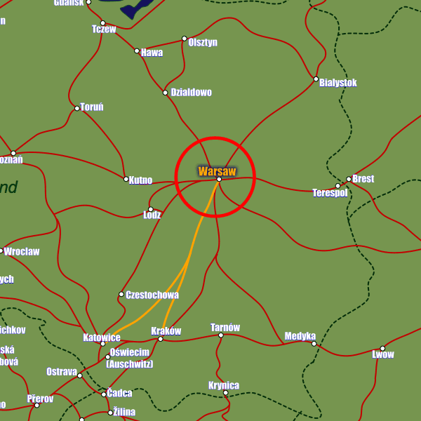
European Rail Guide Logo

Warsaw Maps

European Rail Maps of Warsaw


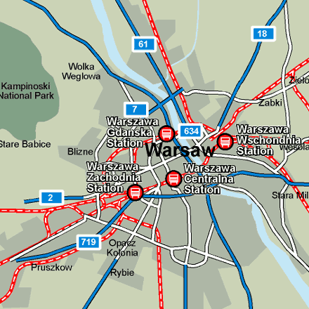
There are four main stations in Warsaw, though the main one for tourists’ purposes is Warszawa Centralna Station built at the end of the twentieth century and located right next to the Centrum Metro Station. Trains arrive here from Prague and Berlin throughout the day as well as from the other major Polish city, Cracow. This international station enjoys all the facilities one would expect including tourist information, a twenty-four hour left-luggage office and a post office. The other major stations are Warszawa Wschodnia (Warsaw East), Warszawa Zachodnia (Warsaw West) and Warszawa Gdanska which is generally used for trains arriving from the former Soviet states.


Rail Map of Warsaw

Find the major train stations, airports, motorways and road connections.

Enlarge this map of Warsaw

Map Key


Country Rail Map of Poland

Showing major train routes and cities nearby Warsaw.

Enlarge this map of Poland

Map Key
  represents normal rail lines in Poland
  represents fast rail lines in Poland


Google Interactive Map of Warsaw

Draggable and zoomable map of Warsaw.

Go to the Google Map


Airports

Warsaw, Frederic Chopin, Okecie Airport
Ulica Zwirki i Wigury 1, 00 906 Warszawa

Train Stations

Warsaw Central (Warszawa Centralna) Station
Aleje Jerozolimskie, Warszawa 00-138
Warsaw East (Warszawa Wschodnia) Station
Lubelska, Warszawa 03-802
Warsaw West (Warszawa Zachodnia) Station
Tunelowa, Warszawa 01-221
Warszawa Gdanska Station
Zygmunta S?omi?skiego, Warszawa 00-204

Sponsored Links


Forum
Contact Us
Copyright © all rights reserved - European Rail Guide