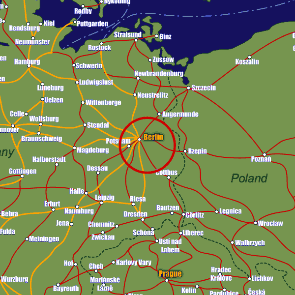
Introduction
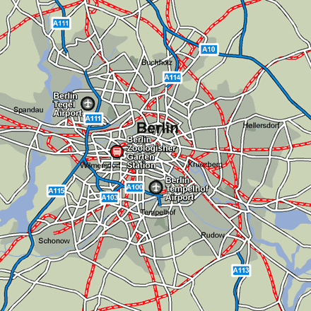
Given Berlin’s size, it is likely that you will have to use the system of U (Underground) and S (Commuter rail) Bahns or one of the bus routes operating from the station to get to your final destination. If in doubt, consult the BVG travel information center in front of the main station.For those coming in by air, there are three main airports; Berlin Tegel, Tempelhof and Schönefeld. All are well connected to Berlin’s center via a network of regular bus and train services.
Stations in Berlin
| Berlin Alexanderplatz (S) | 0.2 km |
| Berlin Alexanderplatz | 0.3 km |
| Berlin Hackescher Markt | 0.7 km |