Introduction
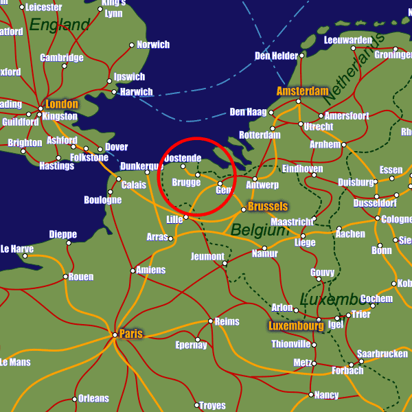
With the channel ports of Zeebrugge and Ostend only 15km and 25km from Bruges respectively many visitors arrive by ferry. Alternatively the city’s only train station is at Stationsplein about 2km from the city centre. The station is well connected to other Belgian cities including Antwerp and Gent as well as Lille in France, which allow access to the Eurostar and a host of other cities. There are tourist offices at the train station as well as in the town centre at t’Zand 34 or Burg 11. Visit www.brugge.be for more information.Stations in Bruges
| Brugge | 1.5 km |
| Brugge-Sint-Pieters | 2.2 km |
| Oostkamp | 6.5 km |