Introduction
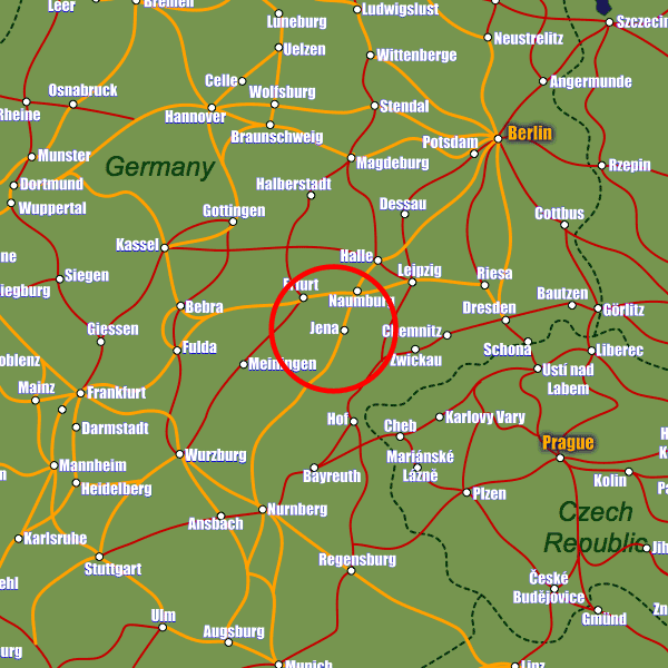
Jena lies in the eastern central part of Germany approximately 100km drive south-west of Leipzig. It is well connected to the country's road network lying just a short distance from the A4 motorway (E40) which connects the country and further beyond from east to west.There are two stations which both have equal importance to the city and see it well connected to the local and national rail infrastructure. Paradies station links destinations to the east and west of the city, whilst Saal station has connections to destinations in the north and south including ICE services to Muenich (5hrs) and Berlin (3hrs). These ICE services are likely to end however once the Nuremberg–Erfurt high-speed line is completed, although to sweeten the local population to this loss, more regional connections have been promised.
There are some international destinations served by Erfurt–Weimar Airport and Leipzig/Halle Airport 50km and 80km away respectively, with a much wider range of services available from Frankfurt and also Berlin Brandenburg Airports both approximately 2.5hrs away.
Stations in Jena
| Jena Paradies | 0.3 km |
| Jena | 0.4 km |
| Jena West | 0.7 km |