Introduction
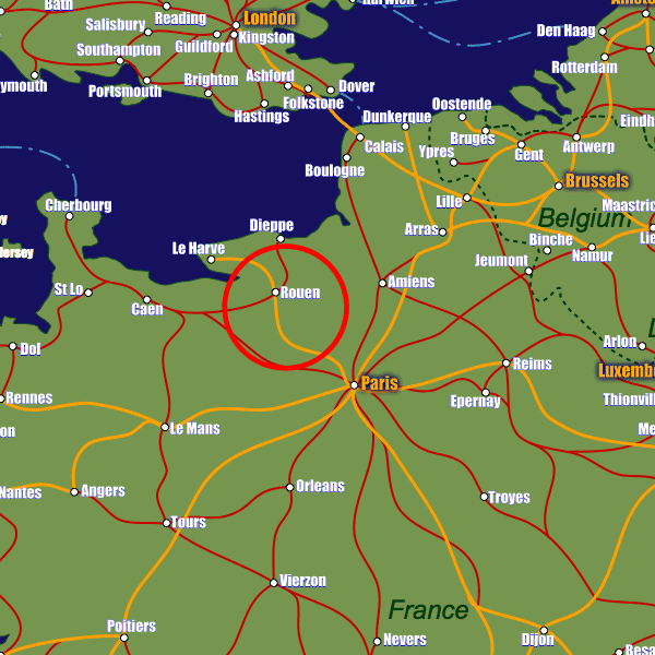
The town of Rouen lies on the river Sein in the north-west of France, towards the English Channel. It's position on the river and in relatively close proximity to the coast is significant; The Port of Rouen has become an important maritime cargo link with inland France from ports such as Le Havre and Dieppe including major areas of consumption and need including Paris. There are regular goods ships as well as cruise ships which arrive at Rouen's Port (which can accomodate vessels up to 170,000 tonnes).This linking position between the coastal ports and the main french road network means that connections from Rouen are particularly good; the A13, A28 and A150 all pass by the town, the A13 being the main road to Paris (1hr30m on a clear day).
The rail connections are also good with Gare de Rouen-Rive-Droite being the main train station. From here there are services to Le Havre (1hr) and Paris (1hr30m), regional services to Caen and Dieppe and direct services to Amiens and Lille. In addition Rouen benefits from the direct TGV connects to Lyon and Marseille.
As well as the boat, rail and road links, Rouen even has an airport of its own which provides good domestic and some international scheduled flights.
Stations in Rouen
| Rouen | 0.4 km |
| Rouen Rive Droite | 1.1 km |
| Sotteville | 3.0 km |


