Introduction
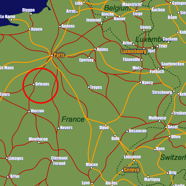
Located in north-central France, Orleans enjoys an enviable position at the heart of the country's transport network. The A71 and the A10 motorways pass directly through the city's borders linking it with Paris to the north-east and Tours, Vierzon and Bordeaux to the south/south-west.There are two stations serving Orleans; the central station (Gare d'Orléans) and a station located to the north of the town called Gare des Aubrais-Orléans which is where most long-distance and high speed services stop, including those to Paris, Lille, Tours and Nevers.
The closest airports to Orleans are Paris Orly Airport with its comprehensive domestic services as well as international connections with 35 different carriers, and also Tours Val de Loire Airport which serves Ryan Air budget flights to several European destinations including Dublin, London Stansted, Porto and Marrakesh. Both airports are approximately 120km away.
Stations in Orleans
| Orléans Centre | 0.7 km |
| Orléans | 1.7 km |
| Les Aubrais | 2.7 km |