Introduction
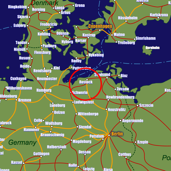
Formerly part of East Germany (GDR), Rostock lies on the Warnow river in north-eastern Germany, within metaphorical spitting distance of the Baltic Sea. The district of Warnemünde approximately 12km north of Rostock lies directly on the coast and is a primarily base for ferry operators Scandlines and TT-Line, which both connect Rostock with major Scandinavian destinations such as Helsinki, Gedser in Denmark and Trelleborg in Sweden.The city is also well-connected to the German road network; the A1 motorway carries passengers to Hamburg via Lübeck in just under 2 hours and to Berlin via the A19 in just over two hours. The train connections are excellent with frequent and efficient connections to both Hamburg and Berlin, from where there are onwards connections to just about every other major German if not European destination.
Stations in Rostock
| Rostock Hbf | 0.6 km |
| Rostock Albrecht-Kossel-Platz | 0.7 km |
| Rostock ZOB | 0.8 km |